default

drones, drone, district, bolsover district, council, dji, derbyshire, mapping, pix4d, aerial photography, filming, drone filming, drone photography

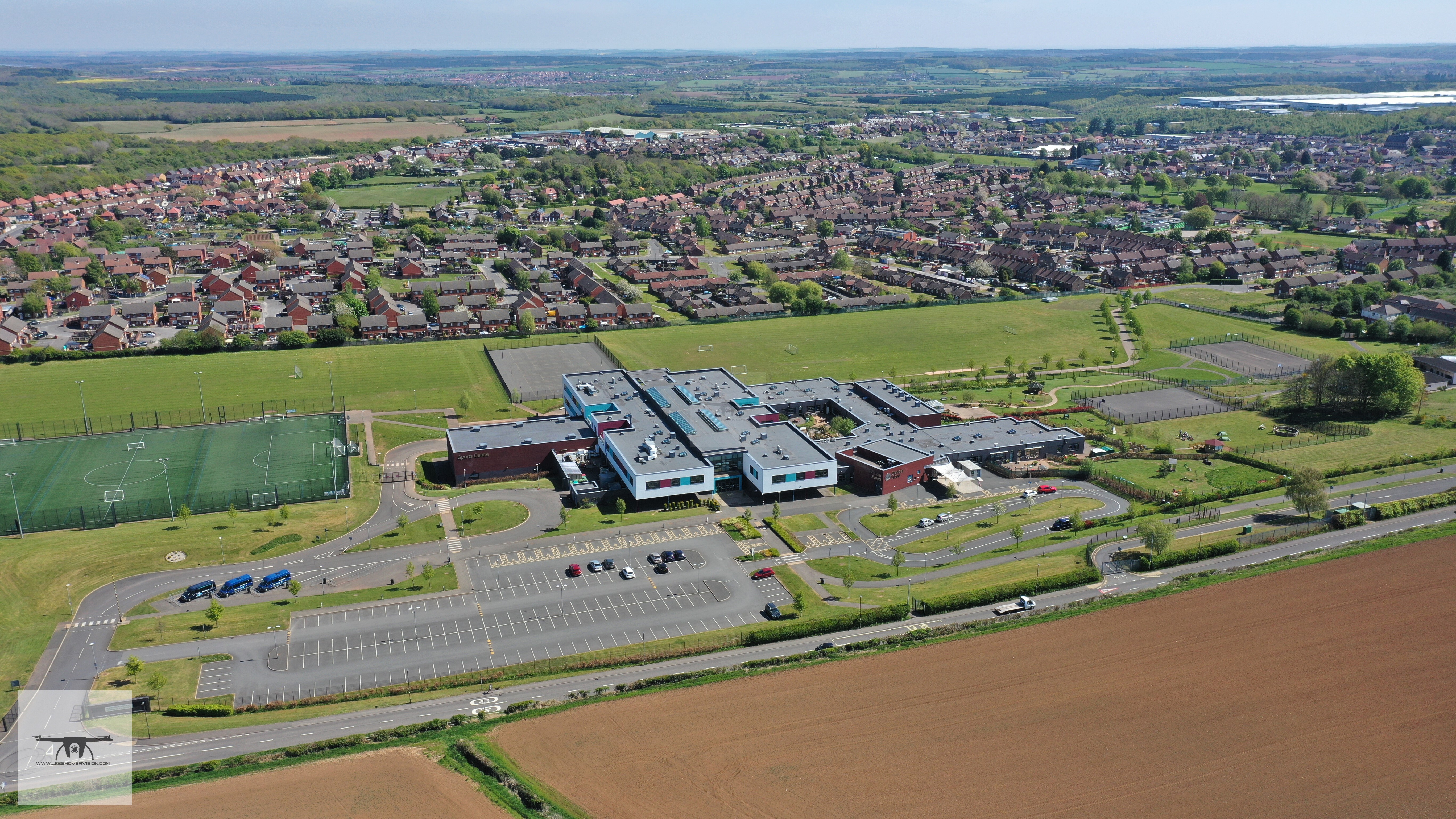
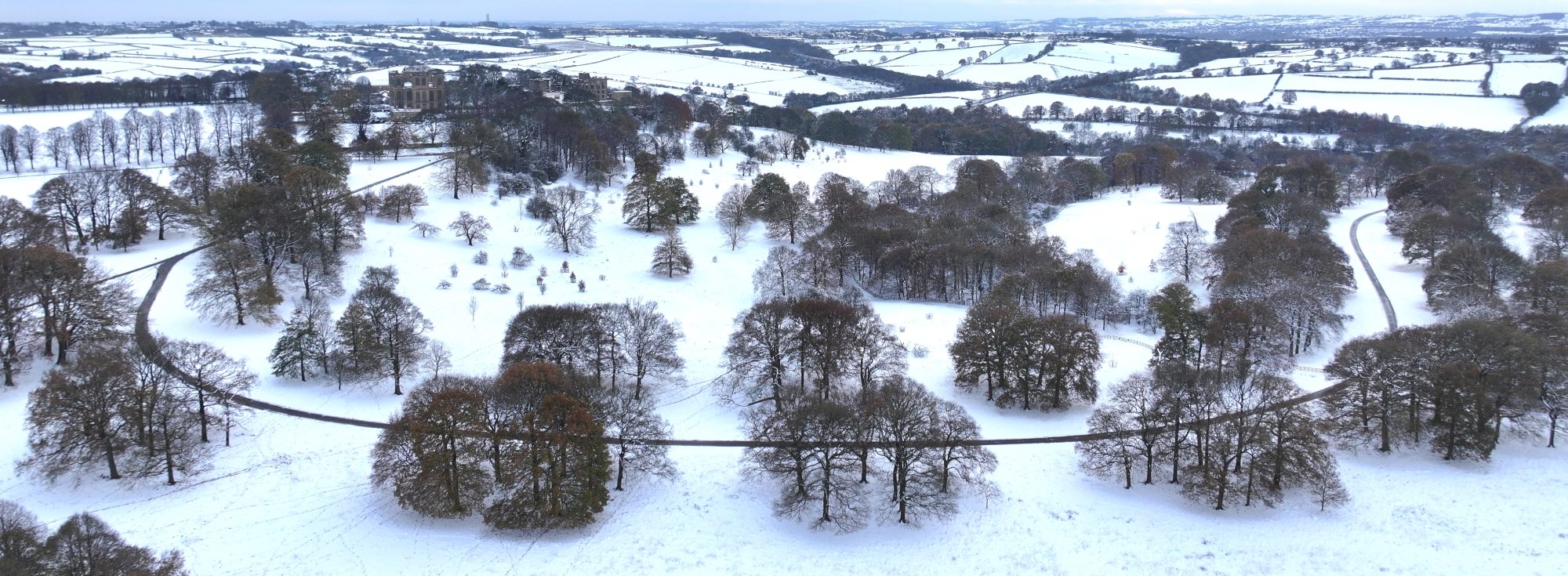
Mapping the UK with drone technology is a great way to capture the lay of the land. Aerial photography and drone filming

Leave a Reply

Fill in your details below or click an icon to log in:

WordPress.com Logo

You are commenting using your WordPress.com account. Log Out /  Change )

Facebook photo

You are commenting using your Facebook account. Log Out /  Change )

Connecting to %s